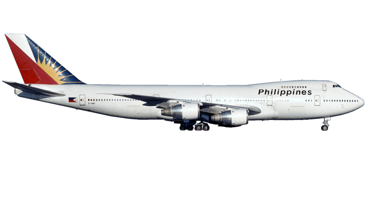
Disclaimer: The source of the above image is deviantart and is copyright 2021-2025 DipperBronyPines98. This system may not show the actual aircraft with 100% accuracy.
Flight Information
Ident/Callsign
Pilot Name
1828945 RPLL (1828945)
Airline
Aircraft
Registration
Route
IPATA2R IPATA W25 BATAY W8 MCT W14 BN W9 RIMAR RIMAR2P
Additional information as it flew nearby
Ground Speed
0 knots
Heading (degrees)
314 (West-Northwest)
Altitude
100 feet
Coordinates
Lat: 7.12989 Lng: 125.646
Date (UTC)
Date (UTC)
Sep 15, 2025 15:10
Flight spotted duration
20:09:34
Distance from Departure Airport
520 nm
Distance to Arrival Airport
0 nm
Latest ACARS message
Array
