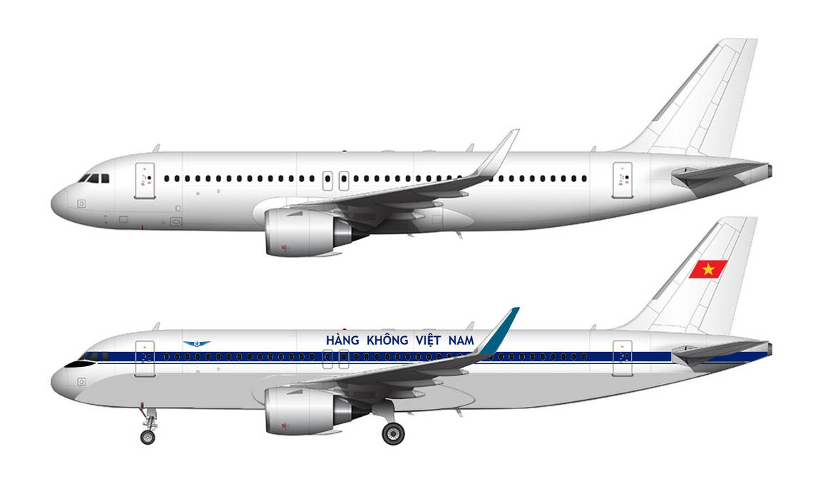
Disclaimer: The source of the above image is deviantart and is copyright 2025 ErykToshiba111. This system may not show the actual aircraft with 100% accuracy.
Flight Information
Ident/Callsign
Pilot Name
Minh Huynh VVTS (1897692)
Airline
Aircraft
Registration
Route
EGLL/27L N0437F310 MAXI1G MAXIT Y803 MID L612 BOGNA UL612 OGULO DCT OKASI DCT OKEKO DCT OKEPI DCT MOU DCT FEDZI FEDZ9N LFLL/35L
Additional information as it flew nearby
Ground Speed
0 knots
Heading (degrees)
268 (West-Southwest)
Altitude
100 feet
Coordinates
Lat: 45.6554 Lng: 5.09707
Date (UTC)
Date (UTC)
Sep 16, 2025 16:10
Flight spotted duration
15:09:21
Distance from Departure Airport
413 nm
Distance to Arrival Airport
4 nm
Latest ACARS message
Array